Галерея ИИ-промптов OpenZhenZhen · gpt-image-2.5 · image
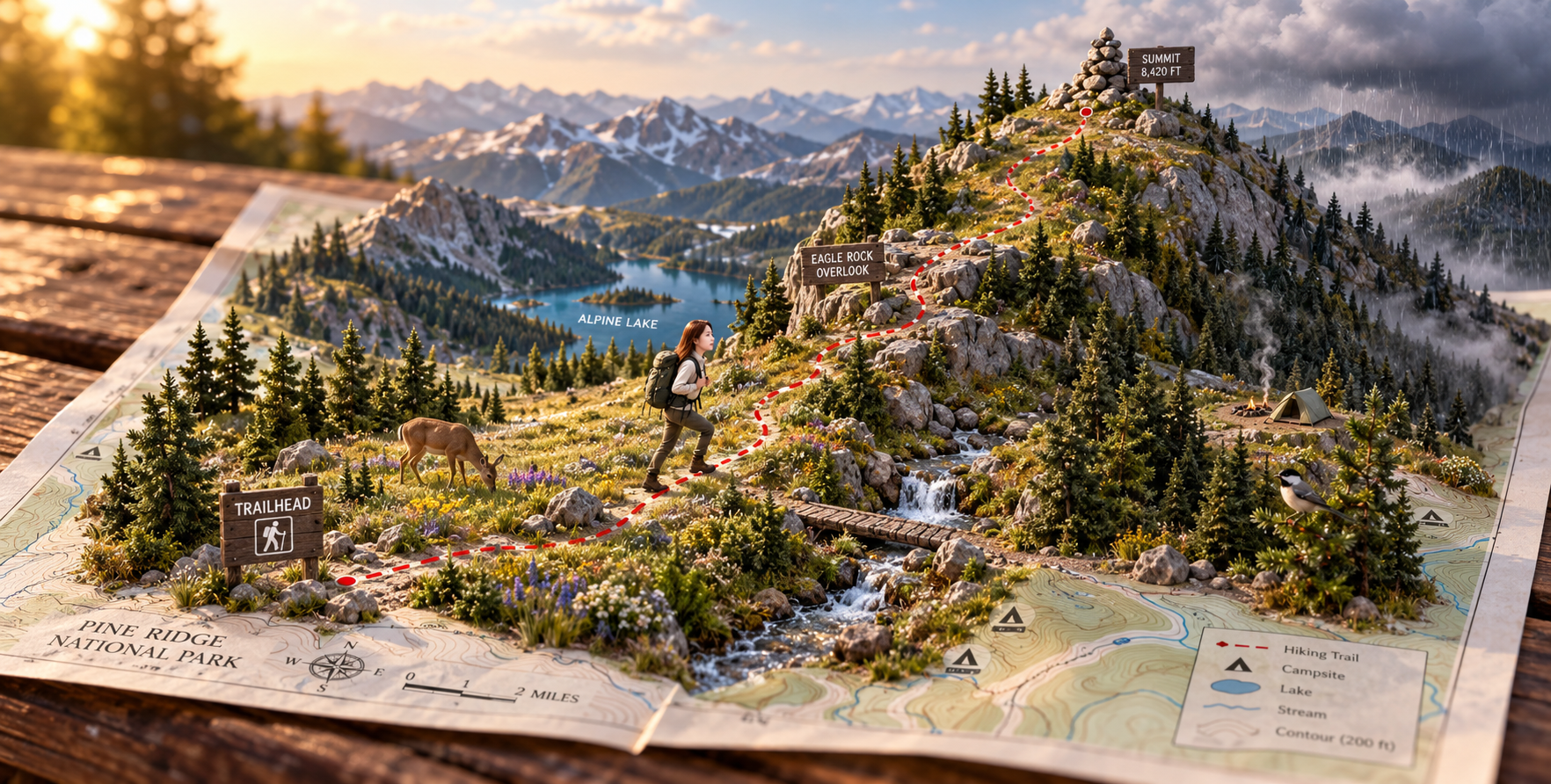
Объёмный миниатюрный мир дикой природы, оживающий на странице
A Pop-Up Miniature Wilderness World Leaping Off the Page
«Объёмный миниатюрный мир дикой природы, оживающий на странице» — работа с использованием gpt-image-2.5 на OpenZhenZhen. Изучите исходный промпт и пример генерации для собственных проектов.
Промпт
Промпт на китайском
创作一张写实桌面荒野立体模型:木质野餐桌上展开一张国家公园步道地图,荒野生态仿佛从地图上拔地而起。标记清楚的步道从入口符号出发,蜿蜒穿过有一只正在觅食的鹿活动的高山草甸,经过带有远处冰川湖景观的一处岩石观景点,最终抵达一座圆润的山峰顶点,山顶可眺望云层散开后显露的层叠群山。让一条清澈的细溪沿微缩地形真实流动;常绿冷杉树木比例统一,并让一只小型山地鸣禽自然栖息在枝间。步道上仅出现一位明确成年的微型女性徒步者,绑定已配置的 ref-10a-v1 身份,定格在行进瞬间;不要其他人物。设置清晰路标和少量简短易读的英文标签,例如 ‘TRAILHEAD’ 和 ‘SUMMIT’。东侧山脊飘着一朵小雨云,西侧山谷则仍沐浴在阳光中。地图上加入小型帐篷图标,并在微缩营地放置一顶空帐篷和一缕细烟,不出现营地人物。表现地势从平面地图逐渐升起为立体高山地形的鲜明高差,采用金色时分的荒野光线、移轴微距摄影和细腻纸张触感。微缩景观下方的步道地图仍应清晰可辨。不要标志或水印;不承诺固定分辨率。
Промпт на английском
Create a photorealistic tabletop wilderness diorama emerging from an unfolded national-park trail map on a wooden picnic table. A marked trail begins at a clear trailhead symbol and winds upward through a high alpine meadow featuring a grazing deer, passes a rocky overlook with a distant glacial lake, and reaches a rounded mountain summit beneath layered mountain ranges and a clearing sky. Let a narrow clear stream physically follow the miniature topography; scale evergreen fir trees consistently and place a small mountain songbird naturally among branches. Include one tiny clearly adult woman hiker bound to configured identity ref-10a-v1, frozen mid-stride on the marked route; no other people. Use crisp trail markers and a few short legible English labels, such as ‘TRAILHEAD’ and ‘SUMMIT’. A light rain cloud hangs over the eastern ridge while the western valley stays sunlit. Add small tent icons on the printed map and one tiny empty campsite with a delicate thread of smoke, without adding people. Show dramatic elevation changes from flat map to three-dimensional alpine terrain, with golden-hour backcountry light, tilt-shift macro photography and tactile map-paper detail. Keep the trail map readable beneath the miniature landscape. No logos or watermark; do not promise fixed resolution.
Больше промптов для изображений и видео · Создать изображение · Создать видео · Создать на ИИ-холсте
Похожие работы
- Портрет в нефритово-зелёном ханьфу в стиле сянься 1990-х, холодные тона
«Портрет в нефритово-зелёном ханьфу в стиле сянься 1990-х, холодные тона» — работа с использованием gpt-image-2.5 на OpenZhenZhen. Изучите исходный промпт и пример генерации для собственных проектов.
- Ультрадетализированный коллекционный 3D-комикс-постер звезды
«Ультрадетализированный коллекционный 3D-комикс-постер звезды» — работа с использованием gpt-image-2.5 на OpenZhenZhen. Изучите исходный промпт и пример генерации для собственных проектов.
- Промпты для дизайна ретро-гоночного плаката
«Промпты для дизайна ретро-гоночного плаката» — работа с использованием gpt-image-2.5 на OpenZhenZhen. Изучите исходный промпт и пример генерации для собственных проектов.
- Инструкция по созданию чат-стикеров с чиби-персонажами
«Инструкция по созданию чат-стикеров с чиби-персонажами» — работа с использованием gpt-image-2.5 на OpenZhenZhen. Изучите исходный промпт и пример генерации для собственных проектов.
- Детский научно-познавательный плакат: Знакомство с пчёлами
«Детский научно-познавательный плакат: Знакомство с пчёлами» — работа с использованием gpt-image-2.5 на OpenZhenZhen. Изучите исходный промпт и пример генерации для собственных проектов.
- Модная коллажная портретная фотография с цветными блоками
«Модная коллажная портретная фотография с цветными блоками» — работа с использованием gpt-image-2.5 на OpenZhenZhen. Изучите исходный промпт и пример генерации для собственных проектов.